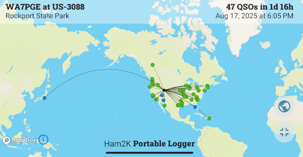
US-3088 Rockport State Park, UT
Date: 2025-08-192025-08-18 and 08-19 -- 47 CW QSOs
We camped at the appropriately named Juniper Campground.
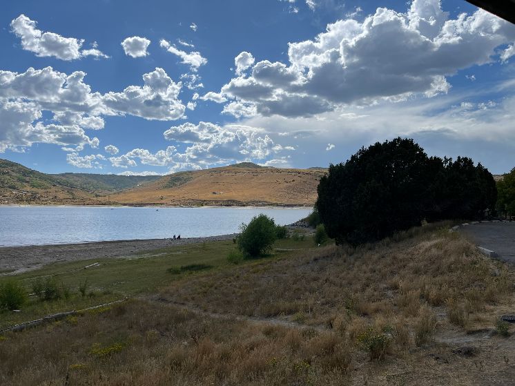
Our view of Rockport Reservoir when we arrived Monday afternoon.
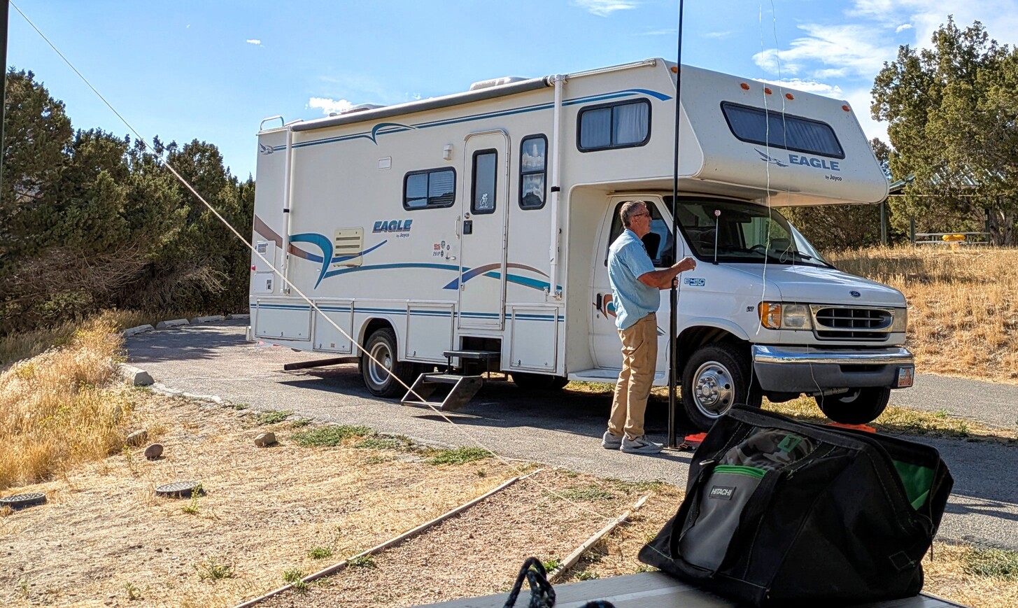
Duane, setting up the 40 meter endfed halfwave antenna.
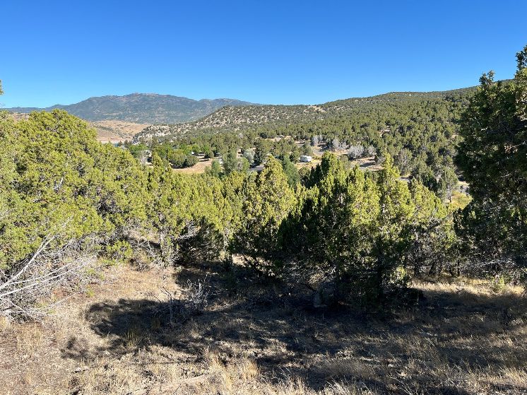
The geology of the reservoir site is interesting! I'm not a student of geology, but there's a story to tell in the rocks here.
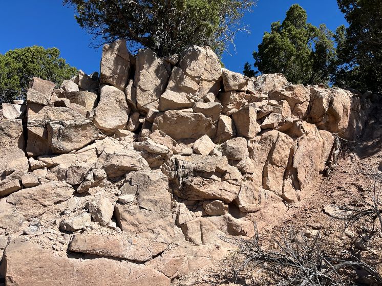
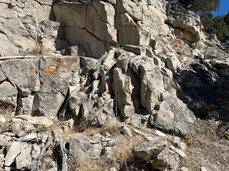
These photos were taken on our hike above the campground.
A google search explains some of it like this:
Geological Setting
Faulting and Folding:
The Rockport area is marked by northeast-trending thrust faults, including the Dry Canyon and Crandall Canyon faults. These faults have influenced the formation of valleys and canyons, with some canyons formed along fault contacts or due to differential erosion of resistant sandstone units.
Uinta Axis: The area is also influenced by the Uinta axis, a structural feature that has interacted with the overthrust systems, causing folding and deformation of rock layers.
Sedimentary Formations: The reservoir and surrounding area feature various sedimentary formations, including the Frontier Formation, Kelvin Formation, and others. These formations consist of sandstone, shale, and limestone layers, contributing to the diversity of rock types and landforms.
Also, see Rockport State Park in Parks hunted: US-3088 Rockport State Park/
Comments
I welcome your comments. You do NOT need to sign in to leave a comment. If you create an account and sign in, my comment system will notify you of replies to your comment. Thanks for stopping by.--Duane McGuire